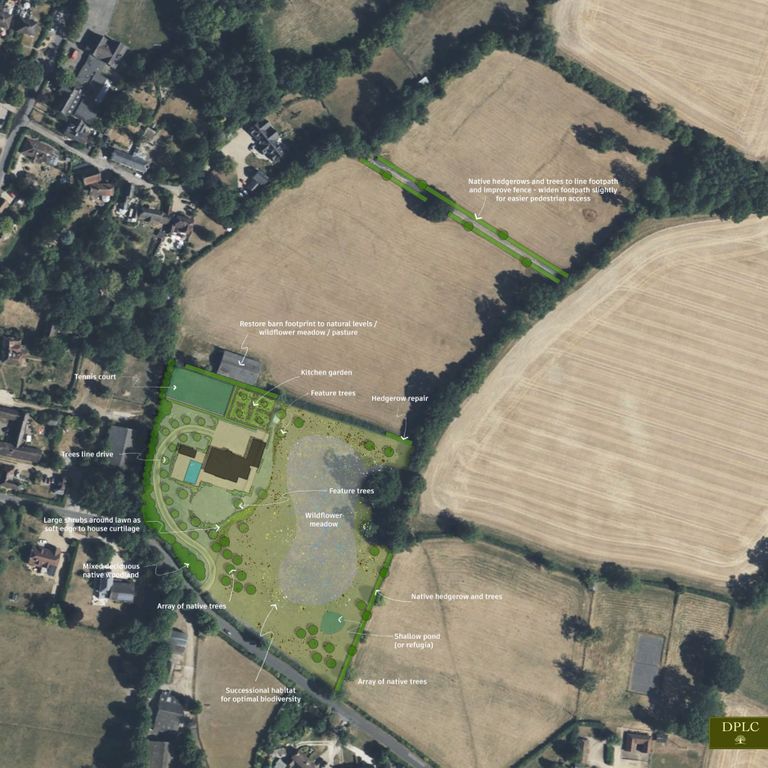
Online Resources for Strategic Planning
The websites and resource below provide most of the background data which a stakeholder needs to understand the potential of a development site. There are some explanatory notes to assist you. If you would like to receive professional assistance please get in touch.
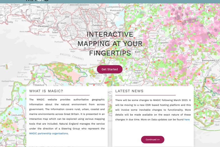
DEFRA MAGIC
The government funded Multi-Agency Geographic Information for the Countryside combines data from different government departments. Further guidance here.
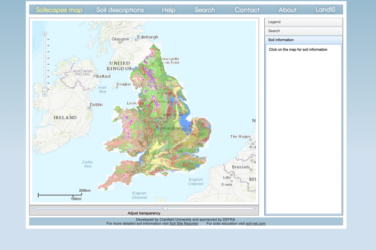
Cranfield Soil and Agrifood Institute Soilscapes
Find out what soils are on a site, their fertility and what land use they would support.
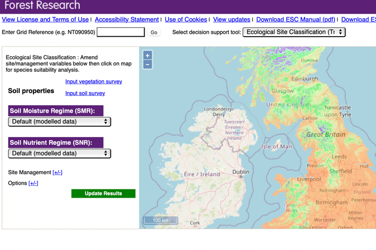
Forest Research Ecological Site Classification
This online tool explores site conditions such as fertility, moisture, wind and climate and matches tree species to site conditions.
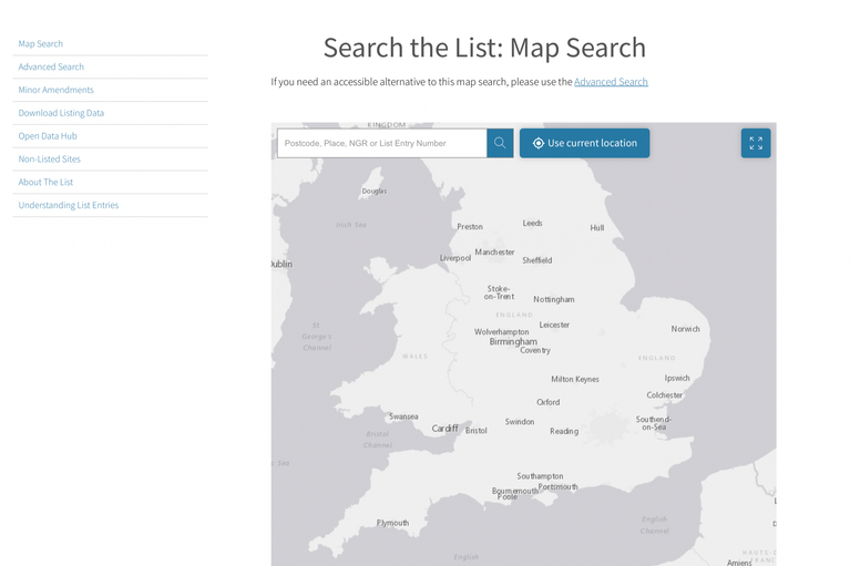
Historic England
Find out the proximity of listed buildings, their grading and features. Information about Conservation Areas is not on this site, and usually available from the Local Planning Authority relating to the site.

National Character Area Profiles
Identify the NCA using the online map then locate the appropriate profile from Natural England which gives detailed information and guidance for development and management strategies.
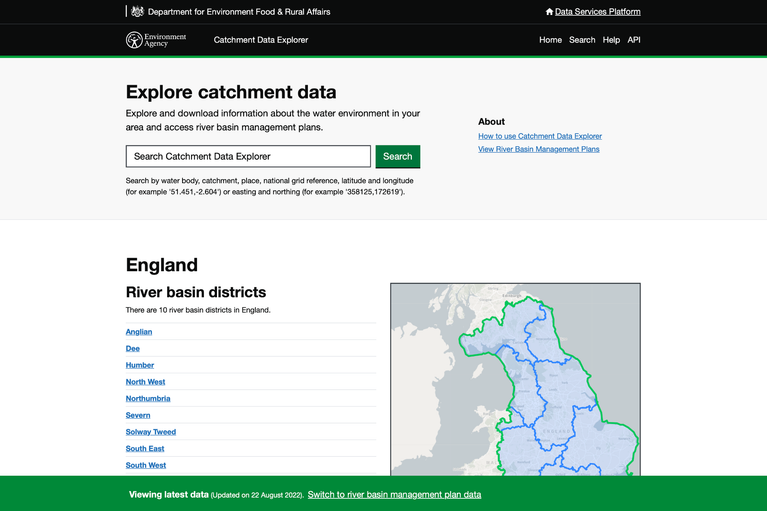
Environment Agency River Catchment Zones
This resource identifies the classification, challenges, objectives and measures relating to a specific catchment area.